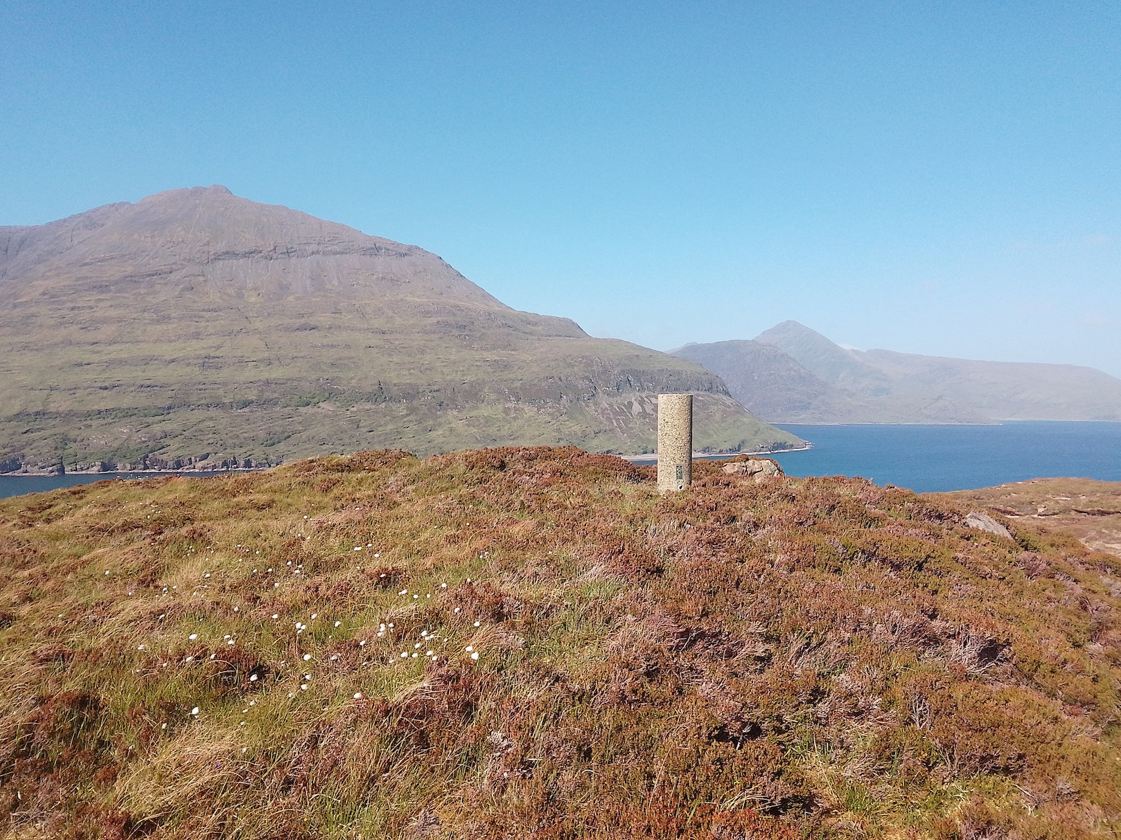
Our boat trips visited 17 islands around Skye with members climbing to the highest point of each
Most will have heard of the Islands of Rhum or Raasay, but there are many more islands around Skye. At the end of May, Members of the Relative Hills Society met for our Annual dinner and AGM at the Kintail Lodge Hotel. These events are traditionally accompanied by hill bagging trips to the local hills, but this year there was an additional theme, boat trips to the vast majority of the significant islands around Skye. A significant island, or SIB, is an island with a high point exceeding 30 metres (100ft) and/or 30 hectares.
Canna and Sanday
The first trip was to Canna, and its tidal neighbour Sanday. There were two trips on a Thursday morning, late in May, with twelve Relative Hills Society members on each boat. We arrived at Elgol to be taken to Canna on a fast rubber speed boat. This traversed the distance smoothly in 45 minutes.
We had four hours on the island, comfortably enough time to visit Canna’s high point, Carn a’Ghaill, and Sanday’s high point, Tallabric. There would have been enough time to visit the local pub afterwards, except it was closed because there was a birthday party which all the islanders attended.
Canna and Sanday islands have a rich history. Around 1,500 years ago, the islands were an important monastic site linked to St Columba, and in 1821, 436 people lived on Canna and Sanday, but only 15 live there today. Most of our group decided to climb Carn a’Ghaill, the highest point on the island at 211m, paying a visit to the ancient punishment stone on the way up, although one member made the long walk to the western end of the island to climb Sliabh Meadhonach.
In the afternoon, most of us were to be found on Sanday’s high point, Tallabric, a beautiful spot overlooking the sea, and reached by a bridge and coastal walk.
North of Raasay: Eilean Tigh, Garbh Eilean, Eilean Garbh, Rona, Eilean Fladday
This trip took us to the islands north of Raasay to the east of Skye. A grey, calm morning, we headed out of Portree harbour aboard Stardust skippered by Tommy. Porpoises accompanied us on our journey, splashing playfully through the wake of the boat.
Our first stop was Eilean Tigh, connected at low tides to the northern tip of Raasay. We met up here with Bill, the island manager on Raasay, who acted as our local guide and ferried us over to each of the islands in his much-loved boat, the MV Rona. Eilean Tigh is a rugged and rocky island. Its highpoint, a massive, glaciated boulder, is 111m. Bill picked us up on the SE shore, where we saw the remains of a well-constructed house. The islander’s children here had a long walk to school on Raasay!
There followed two smaller islands, Garbh Eilean to the south of Rona, and the similarly named Eilean Garbh, to the west. The highlight of the day was sailing into Arcaseid Mor, Rona’s beautiful natural anchorage, and the climb through natural woodland and heather to the trig point and top, Meall Arcaseid (125m).
The area just to the north of here, known as Dry Harbour, was where many of the crofting families from Raasay settled when they were cleared from the more fertile land of Raasay in the mid-19th century. They struggled to make a living in this rocky and inhospitable landscape, and eventually, in 1921 a group of crofters attempted to reoccupy their ancestral land on Raasay. Although they were imprisoned for their efforts, the story ends well. In 1922 the British government acquired both Raasay and
Rona, and most of Rona’s inhabitants returned to Raasay.
These days Rona has two inhabitants, Bill and his wife. Bill was a great host with his stories of the history of the island, and knowledge of walking routes. Before we left, we bought island venison and seafood fished locally: delicious!
A quick stop later to visit the Stephenson lighthouse at the north end of the island before starting our journey back to Portree. Just one more island to visit on the way, Fladday, a tidal island to the west of Raasay. We approached gingerly along the narrow inlet of Caol Fladday. The tide was receding, and the waters becoming shallow for Tommy to navigate with Stardust. At last, we reached the landing point, a well-constructed, but steep ladder up a rockface, quite a challenge for our cocker spaniel Bryher, who loves island bagging as much as we do! From there we were soon at the highpoint (43m) just on the edge of a tiny crofting community with picturesque, white-washed buildings. Engines full throttle then back to Portree!
The Crowlins and Scalpay; Pabay, Lingay, Eilean Mor, Eilean Meadhonach, Eilean Beag, and Scalpay
At 7.30am we set out from the backpackers at Kyleakin and headed over to join other Society members already assembled at the public car park. Today's itinerary would see us visiting six islands around Inner Sound north of Broadford, and there was a buzz of cheery anticipation as we prepared ourselves for a memorable outing together. Our skipper Michael soon had us chugging out of the Kyle below the graceful arc of Skye Road Bridge.
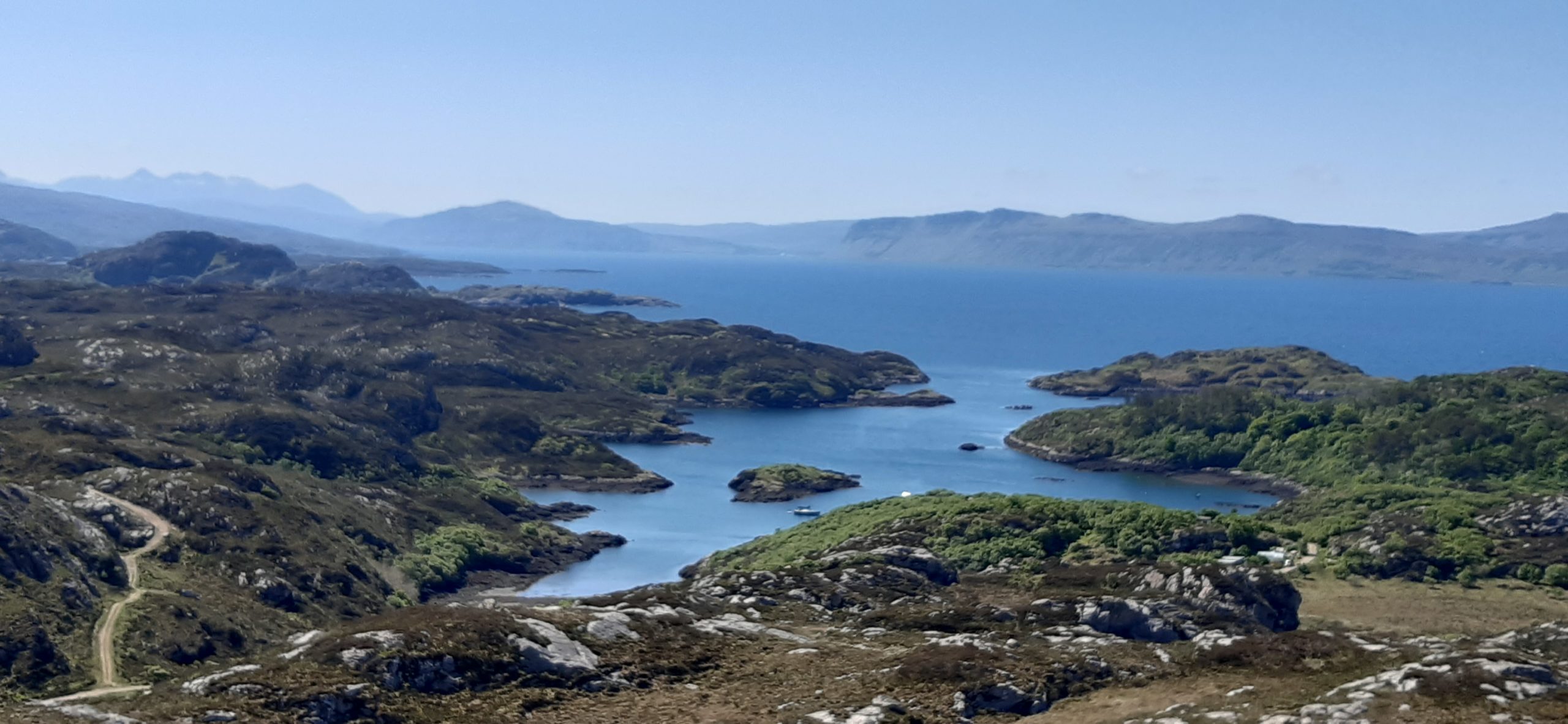
Pabay and Lingay didn’t take too long to explore, and just before noon, we dropped anchor beside Eilean Mòr, the largest of the Crowlins. Michael located a sheltered inlet for us, and the advance landing party were ashore in no time. The island highpoint Meall a' Chòis offered excellent views eastwards to Loch Carron, though my attention was focused on idyllically sited Uags bothy two kilometres across the water at the far southern point of Applecross. The two remaining Crowlin Islands, Eilean Meadhonach and Eilean Beag, were both very enjoyable and filled the mid-afternoon.
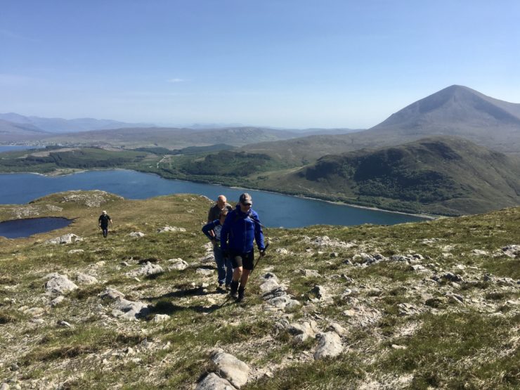
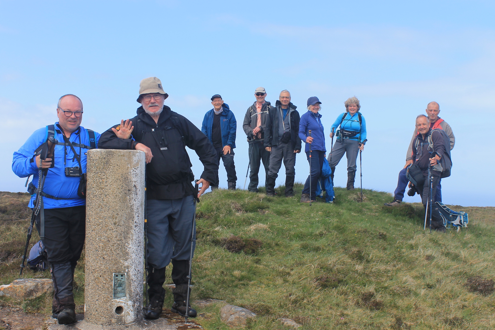
Last, but by no means least, was Scalpay. This was the day's main objective. It was an easy pontoon landing, followed by a steady 396m climb up to Mullach na Càrn. What views we were blessed with after eventually huffing and puffing our way up there! The views included the fine Corbett, Glamaig, coastal Marilyn, Ben Tianavaig, and the unmistakable Dun Caan across on Raasay. It was some panorama to savour, whilst we waited for the last stragglers to arrive. What a superb climax to a top-rate day out exploring serene Hebridean waters of the reassuringly familar blue yonder.
Soay & Loch Bracadale; Wiay, Harlosh, Tarner, Soay
At 8.45am, twelve members of the Relative Hills Society gathered in Elgol, with the intention of boarding a RIB to visit Soay and the islands in Loch Bracadale. We were informed that conditions were not good and it might not be possible to reach Loch Bracadale at all, with Rum being suggested as an alternative.
We were kitted out in big orange survival suits and boarded the RIB shortly after 9am. Our skipper, Mark, told us that we would head towards Loch Bracadale first to assess conditions – in his words, “it depends on how much you can take, and how much I'm willing to let you take”.The journey to Loch Bracadale was indeed rather bumpy but we had experienced rough conditions before.
After a while Mark slowed down to check how we were coping, and after receiving thumbs up from everyone, no further mention was made of changing the itinerary! Eventually, almost 2 hours after leaving Elgol, we finally reached our first island, Wiay, the largest of those in Loch Bracadale. After being ferried to shore in a dinghy by Mark's assistant Ollie, we all made our way over extremely rough terrain to the island's summit, a rather nondescript 61m point. With a tight schedule, there was no time to linger, and we were soon back on the boat heading towards our second island, Harlosh.
Half an hour later we landed on Harlosh, once again being ferried to shore by Ollie. With a fine sandy beach and steep cliffs, this was the most attractive island we visited. Once we had found a route round the cliffs, the going was much easier than on Wiay and we were soon on the summit, and back on the boat no more than half an hour after landing!
After another half hour, we arrived at our third island, Tarner. This time, no dinghy was used as we were able to step straight out of the RIB onto rocks. The terrain here, like on Wiay, was hard going so it took a little longer to reach the 69m summit.
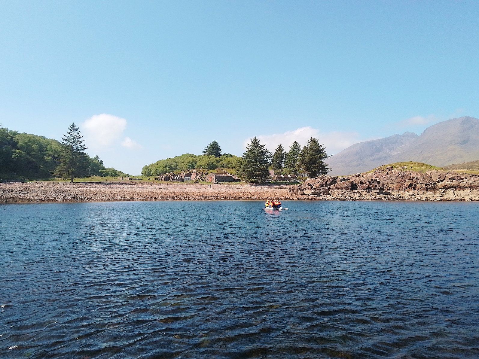
On our return to the boat, Mark told us we are short of time to visit both Soay and the last of the Loch Bracadale islands, Oronsay. As Oronsay is tidal and can be visited relatively easily from Skye, we agreed to skip it and head straight to Soay which was the main goal for most of us. We were ferried to shore at Soay in the dinghy, landing on a pebble beach next to a house.
Out of all the islands visited, Soay was the only one to be inhabited, with a population of three, though nobody appeared to be about today. We were given an hour onshore, which proved to be just enough time to reach the 141m summit and return to the boat.
The summit is over a kilometre away, the route taking us through a bog and over some very rough terrain. We were, however, rewarded with magnificent views once at the trig point marking the summit! Feeling pleased after a successful day, we returned to the boat and were back in Elgol in just over half an hour.
Add comment